Real time measurement is the most valuable measurement.
Warmer temperatures are fueling rapid intensification of severe storms and storm surges. Real-time data improves accuracy of flood forecasts to warn communities. The same precision also optimizes hydropower generation and water management decisions, rain or shine. As environmental monitoring and data experts, KISTERS knows reliable forecasts begin with quality data.
Transforming the way we measure
Discover our U.S. radar sensor portfolio
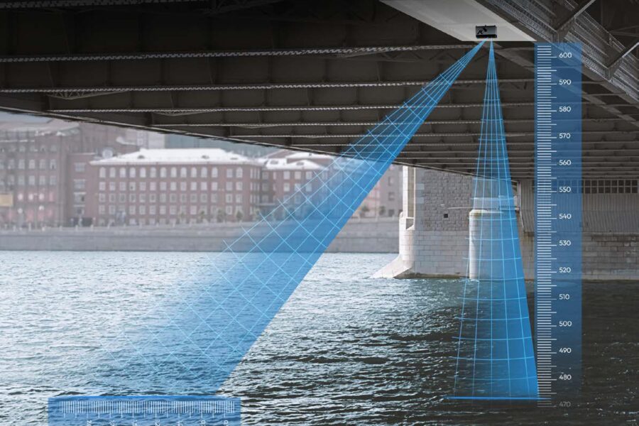
HyQuant L | a compact SDI-12 level sensor with FMCW technology
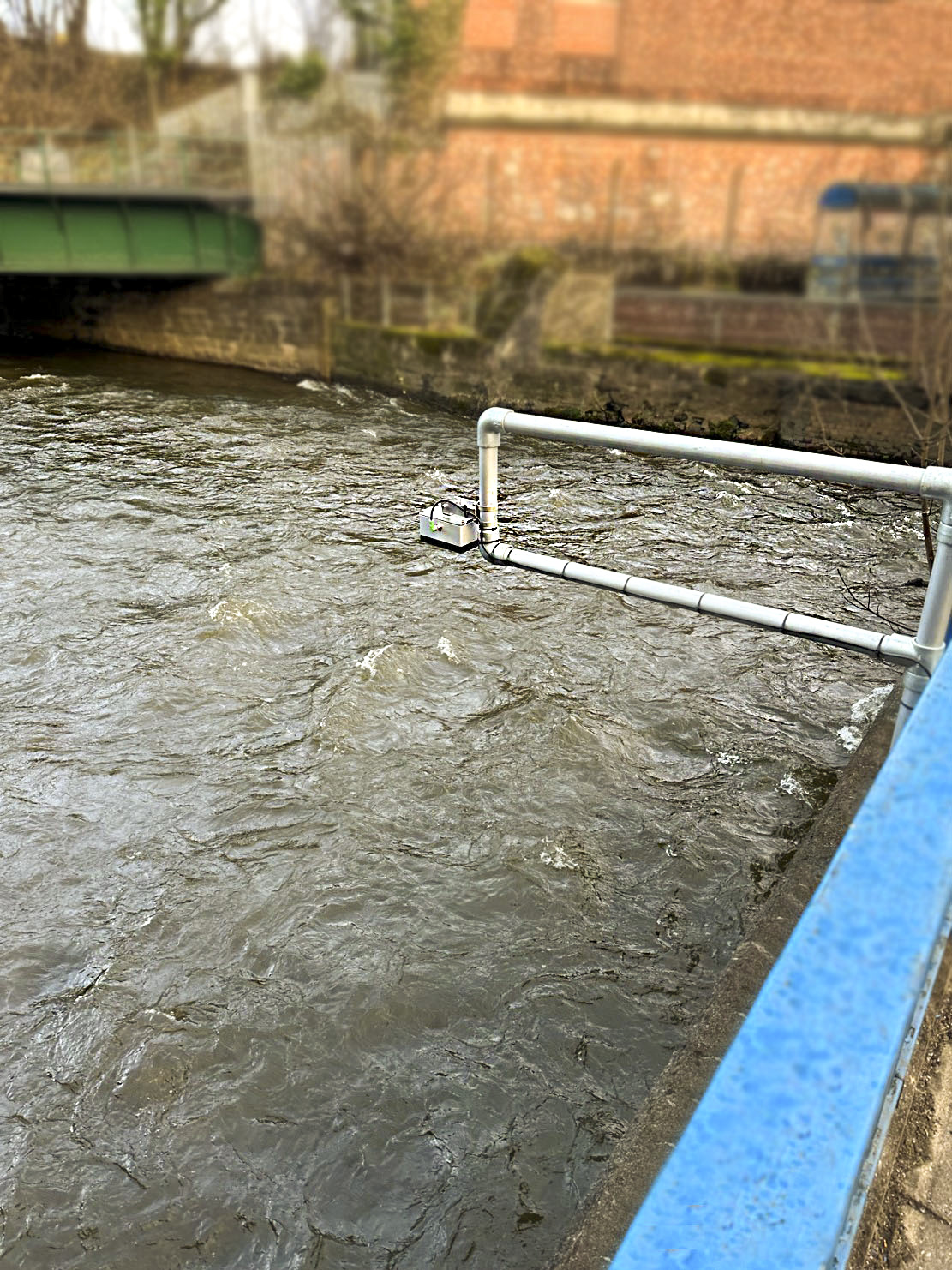
Fitted with an IP68 rating and frequency modulated continuous wave technology, the HyQuant L supplies water measurements with ultimate precision.
Discover HyQuant L Read article
Key benefits:
- High data quality under any conditions: ≤ 2 mm accuracy over the entire measurement range.
- Narrow beam angle for narrow and wide water bodies.
- User-defined site-specific range: 20m or 50m.
- Highly energy efficient, ideal for solar powered sites.
- User-configurable filter settings for local adaptation & stage point settings within intuitive software via Wi-Fi for on-site set-up.
- Cost-effective solution includes mounting bracket, cable, SDI-12, Modbus and Wi-Fi. No hidden costs for installation.
- Learn more about the HyQuant series for international locations.
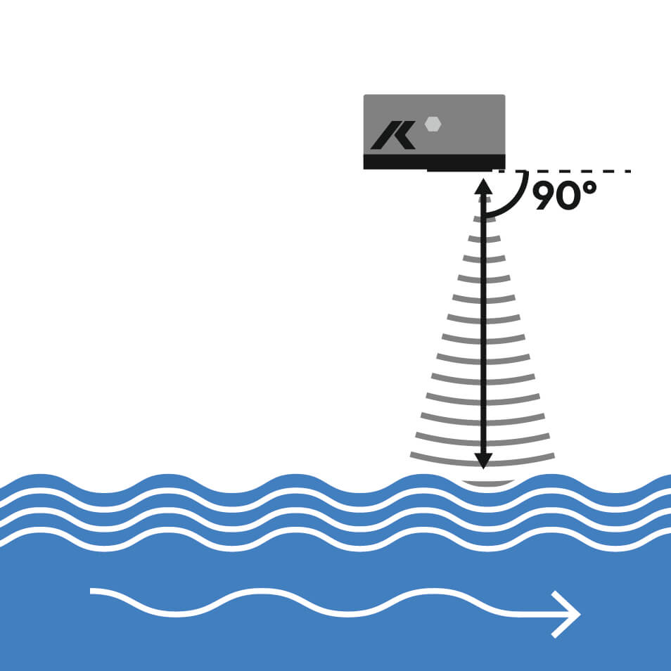
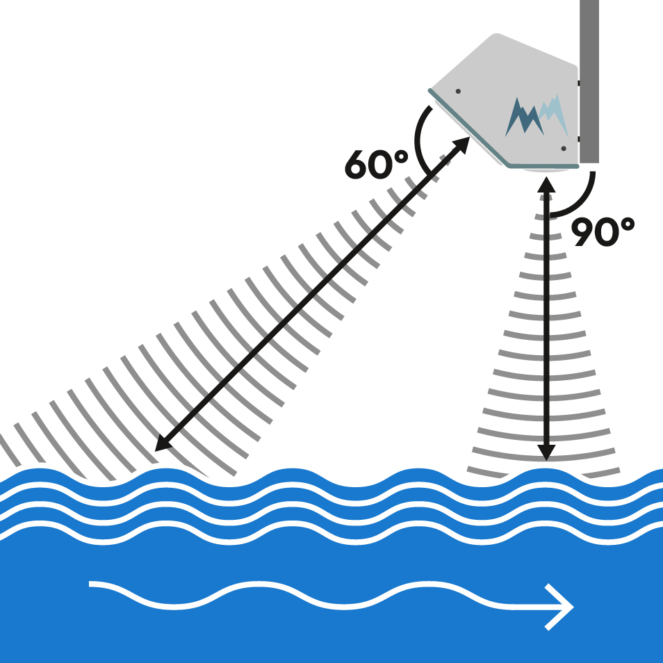
RG-30+C | a sensor that simultaneously measures water level and surface velocity
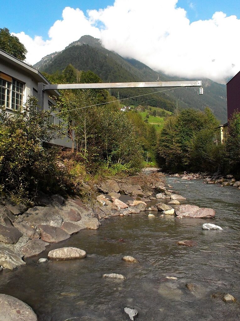
Fitted with an IP67 rating and advanced noise reduction features, the RG-30+C delivers both water level and surface velocity data in one compact sensor.
Discover RG-30+CKey benefits:
- Real-time delivery of surface velocity and water level data.
- Multiple data interfaces (RS-485, SDI-12, Modbus & analog) seamlessly integrate into existing telemetry systems.
- Velocity measuring range: 0.1 m/s–16 m/s (depending on water surface conditions).
- Water level measuring range: 0-35m.
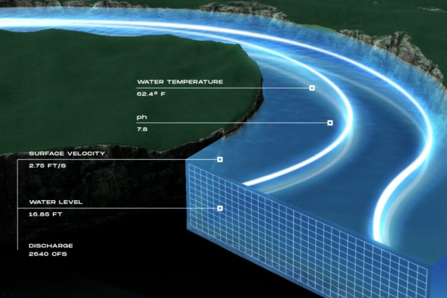
RQ-30+ | a sensor that instantly computes discharge from level and velocity data
Fitted with an IP67 rating, the RQ-30+ delivers real-time water level, surface velocity and discharge measurements in one compact sensor.
Key benefits:
- Leveraging continuous data collection & built-in cross-section information, it calculates discharge with minimal calibration effort.
- Machine learning helps overcome environmental influences at challenging monitoring sites.
- Addresses dynamic changes in the waterbody including hysteresis (loop ratings).
- Operates where ADCP boats or current meters are impractical.
- Velocity measuring range: 0.1 m/s–16 m/s (depending on water surface conditions).
- Water level measuring range: 0-35m.



Understand radar's role in hydrology today
Want to learn more about radar technology?
This 30-minute on-demand webinar shares insights from the latest development in open channel water monitoring. Experts Stefan Siedschlag, Dr. Anton Felder, and Edgar Wetzel explain both the opportunities and limitations of radar sensors over open channels.
Watch the webinar nowClimate change requires densified forecasting and in turn, this requires densification of stream gauging. Therefore hydrologists are looking for and assessing new technologies to accomplish this with less effort. Radar is definitely a technology that can help.
Dr. Anton Felder, Director of HydroMet at KISTERS
Versatile applications
- Flood control districts
- Drainage / stormwater districts
- Irrigation districts
- Hydropower, dam & reservoirs
- Infrastructure & transport
- Water / wastewater utilities
