Skip to content
>

News

Showing 207 Posts

Filters

Filter by Industry

Show results
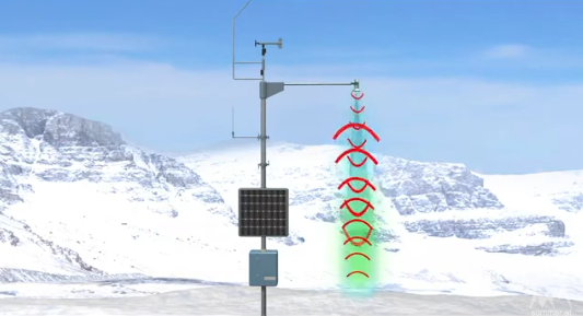
conceptual image of the USH-9 ultrasonic snow depth sensor emitting sound waves and receiving echoes to measure snow height | credit Sommer
November 20, 2024Water, Weather & Environment

How does the snow sensor work?
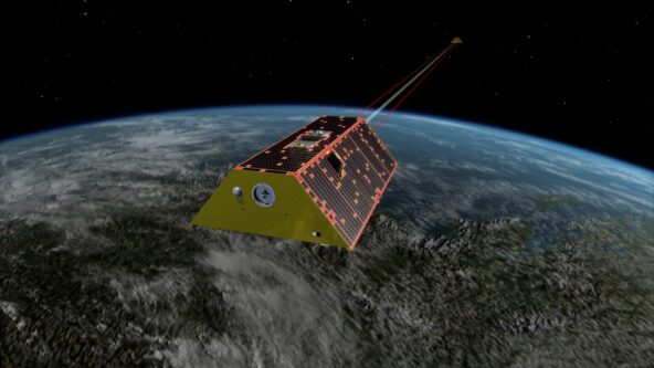
conceptual image of Gravity Recovery and Climate Experiment (GRACE) satellites measuring gravity to reveal water storage levels on land | credit NASA/JPL-Caltech
November 19, 2024Water, Weather & Environment

Satellites reveal low freshwater levels worldwide
augmented reality conceptual image of HyQuant L, non-contact radar water level sensor
November 13, 2024Water, Weather & Environment

Affordable new water radar debuts to combat flood risks

KISTERS tagline logo - resized for corporate news items
November 11, 2024KISTERS Group

Attestations affirm integrity, security of KISTERS software
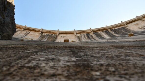
up angle photo of Owyhee dam on the Owyhee River in Eastern Oregon near Adrian, Oregon, United States | photo credit USDA NRCS Oregon via flikr.com https://www.flickr.com/photos/nrcs_oregon/48839093736
November 8, 2024Water, Weather & Environment

Ongoing drought drains Pacific NW hydropower generation
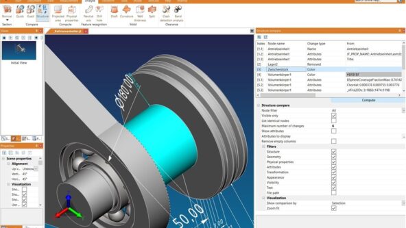
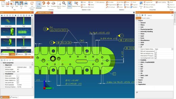
screen capture of 3DViewStation structure compare functionality; changes displayed in 3D model and detailed table in the upper right corner. Customized filters appear in the bottom right corner.
November 6, 2024CAD Visualization

CAD visualization software gets structure compare tool

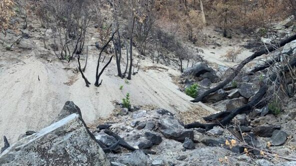
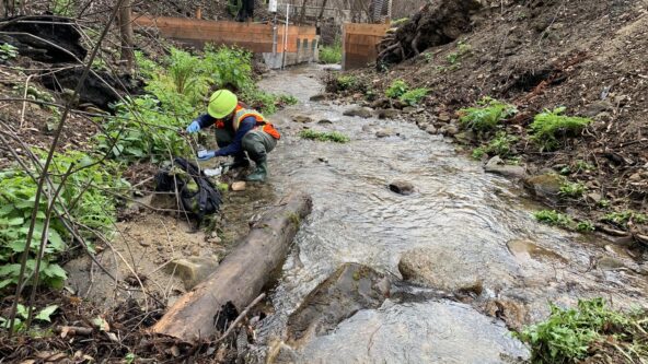
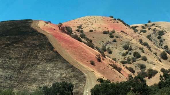
Sampling sediment following 2020 California wildfires 1/31/2021 Research geologist collects stream sediment samples in burned watersheds to measure concentrations of soil and water contaminants following runoff in 1/2021. | photo credit Amy East, USGS Pacific Coastal and Marine Science Center
October 7, 2024Water, Weather & Environment

After the Fire is Gone: Soiled Water Quality
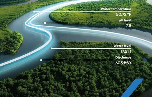
conceptual image of neon lines moving through serpentine river to represent real-time streamgauge network data
October 2, 2024Water, Weather & Environment

Calif. investing $7M in local streamgage networks
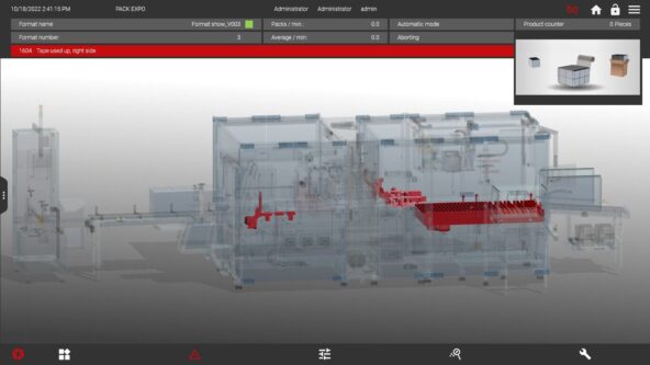
screen capture of human machine interface (HMI) integrated with KISTERS 3DViewStation 3D CAD visualization software
September 19, 2024CAD Visualization

With 3D visualization HMI operators reduce resolution time

photo screen capture of CAD viewer software 3DViewStation and the feature to cut solid 3D model into multiple section piece
September 17, 2024CAD Visualization

CAD Data Interoperability & Visualization Enhance Manufacturing

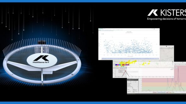
photo from an emergency management command center; image shows multiple computer monitors. screens display map of hail forecasts, estimated size of hailstones and distribution of historical hailstone impacts | source AdobeStock 790001458 purchased and modified
September 6, 2024Water, Weather & Environment

New KISTERS solution transforms data into robust decision support

close up image of micro cracks or micro fractures on a solar panel
August 22, 2024Water, Weather & Environment

Can hail damage solar panels?

photo of the tipping buckets within a high accuracy KISTERS TB3 tipping bucket rain gauge
August 13, 2024Water, Weather & Environment

Are rain gauges accurate?

Aerial long exposure of traffic on a roundabout in a small town
August 6, 2024Water, Weather & Environment

Seismic & traffic vibes measure soil moisture

photo of Credit Valley Conservation (CVC) constructing Canada's first ICC-compliant smart blue roof and CSA-compliant smart blue roof.
July 18, 2024Water, Weather & Environment

CVC Commissions Canada’s First ICC-Compliant Smart Blue Roof

screen capture of secure, real-time Supplied Collaboration tools within 3DViewStation WebViewer
July 16, 2024CAD Visualization

Elevating 3D CAD Collaboration with Suppliers

photo of billowing smoky clouds and an active wildland fire in the Canadian province of Alberta, posted by Alberta Wildfire on twitter on May 19, 2023
May 14, 2024Water, Weather & Environment

Raising wildfire risk awareness; tech fills Emergency Coordinator shortage

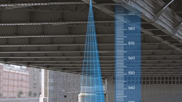
cropped version of a hybrid photo of the underside of a bridge where a HyQuant non-contact radar sensor has been mounted and illustration of contactless radar technology to measure water level and water level
April 11, 2024Water, Weather & Environment

Webinar to explain radar hydrology & invite Q&A

screen capture of U.S. NOAA centralized water data website called the National Water Prediction Service tool.
April 2, 2024Water, Weather & Environment

New NOAA website centralizes water data & forecasts

HyQuant launch image: black background with CAD rendering of HyQuant non-contact water radar sensor, white KISTERS logo and the text,
March 26, 2024Water, Weather & Environment

KISTERS launches HyQuant, compact non-contact water radar sensors at accessible price

3DViewStation exports | 3D illustrations in spare parts catalog enhance maintenance, repair, and overhaul (MRO) service as technicians quickly assess problems and order replacements
February 7, 2024CAD Visualization

Improving after sales with manufacturing tech

resized photo of bridge-mounted RQ-30 non-contact discharge radar
January 30, 2024Water, Weather & Environment

Non-Contact discharge radar and AI revolutionize flood warning and water management

Photo of primary-secondary section-by-section water flow monitoring using RQ-30d noncontact discharge radar sensors mounted on a bridge | image credit Sommer
January 12, 2024Water, Weather & Environment

Water flow sensors overcome water measurement hurdles

photo of a female field inspector holding a mobile phone and a laptop in addition to examining the ground and soil
January 3, 2024Water, Weather & Environment

Aquifers recharge faster than past estimates