Skip to content
>

News

Showing 166 Posts

Filters
Filter by Industry 1

Show results
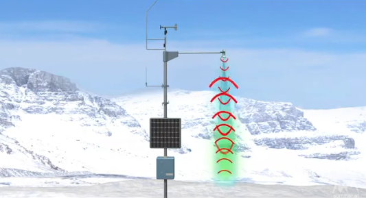
conceptual image of the USH-9 ultrasonic snow depth sensor emitting sound waves and receiving echoes to measure snow height | credit Sommer
November 20, 2024Water, Weather & Environment

How does the snow sensor work?
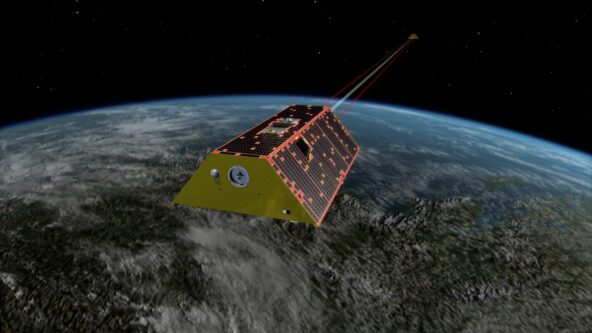
conceptual image of Gravity Recovery and Climate Experiment (GRACE) satellites measuring gravity to reveal water storage levels on land | credit NASA/JPL-Caltech
November 19, 2024Water, Weather & Environment

Satellites reveal low freshwater levels worldwide
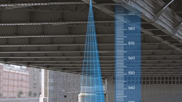
augmented reality conceptual image of HyQuant L, non-contact radar water level sensor
November 13, 2024Water, Weather & Environment

Affordable new water radar debuts to combat flood risks
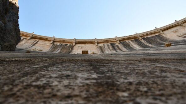
up angle photo of Owyhee dam on the Owyhee River in Eastern Oregon near Adrian, Oregon, United States | photo credit USDA NRCS Oregon via flikr.com https://www.flickr.com/photos/nrcs_oregon/48839093736
November 8, 2024Water, Weather & Environment

Ongoing drought drains Pacific NW hydropower generation
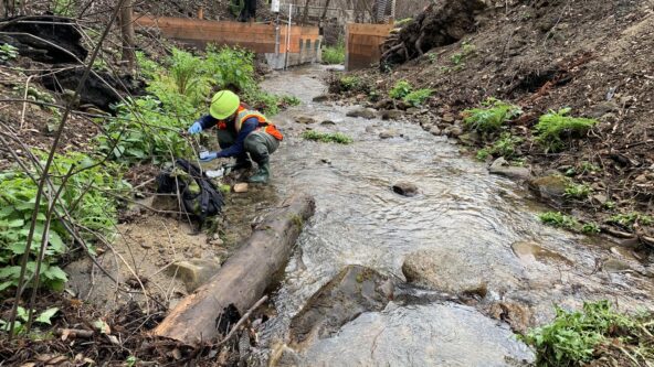
Sampling sediment following 2020 California wildfires 1/31/2021 Research geologist collects stream sediment samples in burned watersheds to measure concentrations of soil and water contaminants following runoff in 1/2021. | photo credit Amy East, USGS Pacific Coastal and Marine Science Center
October 7, 2024Water, Weather & Environment

After the Fire is Gone: Soiled Water Quality
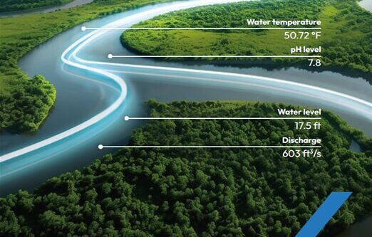
conceptual image of neon lines moving through serpentine river to represent real-time streamgauge network data
October 2, 2024Water, Weather & Environment

Calif. investing $7M in local streamgage networks
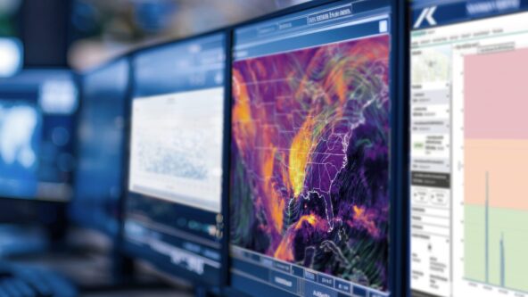
photo from an emergency management command center; image shows multiple computer monitors. screens display map of hail forecasts, estimated size of hailstones and distribution of historical hailstone impacts | source AdobeStock 790001458 purchased and modified
September 6, 2024Water, Weather & Environment

New KISTERS solution transforms data into robust decision support
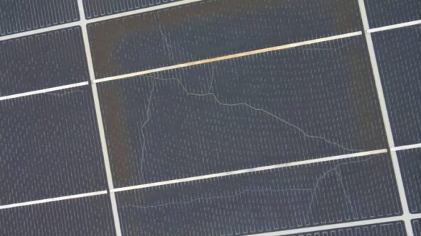
close up image of micro cracks or micro fractures on a solar panel
August 22, 2024Water, Weather & Environment

Can hail damage solar panels?
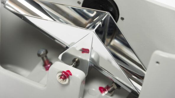
photo of the tipping buckets within a high accuracy KISTERS TB3 tipping bucket rain gauge
August 13, 2024Water, Weather & Environment

Are rain gauges accurate?
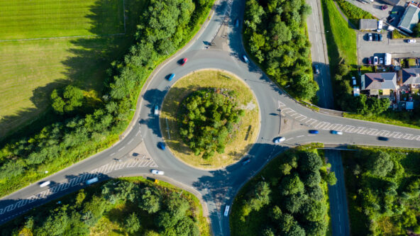
Aerial long exposure of traffic on a roundabout in a small town
August 6, 2024Water, Weather & Environment

Seismic & traffic vibes measure soil moisture
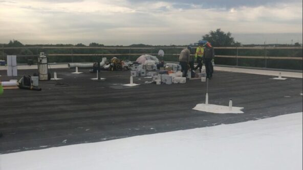
photo of Credit Valley Conservation (CVC) constructing Canada's first ICC-compliant smart blue roof and CSA-compliant smart blue roof.
July 18, 2024Water, Weather & Environment

CVC Commissions Canada’s First ICC-Compliant Smart Blue Roof
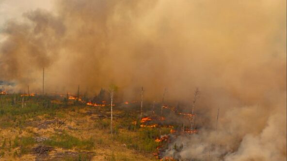
photo of billowing smoky clouds and an active wildland fire in the Canadian province of Alberta, posted by Alberta Wildfire on twitter on May 19, 2023
May 14, 2024Water, Weather & Environment

Raising wildfire risk awareness; tech fills Emergency Coordinator shortage

cropped version of a hybrid photo of the underside of a bridge where a HyQuant non-contact radar sensor has been mounted and illustration of contactless radar technology to measure water level and water level
April 11, 2024Water, Weather & Environment

Webinar to explain radar hydrology & invite Q&A
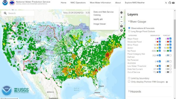
screen capture of U.S. NOAA centralized water data website called the National Water Prediction Service tool.
April 2, 2024Water, Weather & Environment

New NOAA website centralizes water data & forecasts

HyQuant launch image: black background with CAD rendering of HyQuant non-contact water radar sensor, white KISTERS logo and the text,
March 26, 2024Water, Weather & Environment

KISTERS launches HyQuant, compact non-contact water radar sensors at accessible price
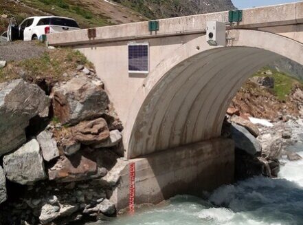
resized photo of bridge-mounted RQ-30 non-contact discharge radar
January 30, 2024Water, Weather & Environment

Non-Contact discharge radar and AI revolutionize flood warning and water management
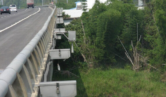
Photo of primary-secondary section-by-section water flow monitoring using RQ-30d noncontact discharge radar sensors mounted on a bridge | image credit Sommer
January 12, 2024Water, Weather & Environment

Water flow sensors overcome water measurement hurdles
photo of a female field inspector holding a mobile phone and a laptop in addition to examining the ground and soil
January 3, 2024Water, Weather & Environment

Aquifers recharge faster than past estimates
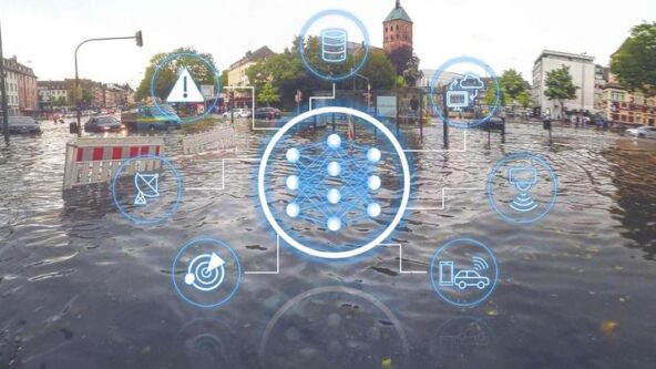
conceptual image of bioinformatics | photo of a town and water with digital icons to symbolize advanced water quality data management and data visualization
November 13, 2023Water, Weather & Environment

Bioinformatics, nexus of water quality & big data ecology
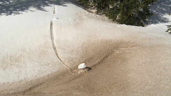
photo of dust on snow from study on reduces water flow to the Colorado River | source Center for Snow and Avalanche Studies via climate.gov
October 31, 2023Water, Weather & Environment

Dust: missing from water supply forecasting models
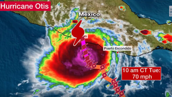
screen capture of Tropic Storm Otis on Tuesday, 24 October 2023 at 10 AM Central Time with 70 mph winds and path heading toward Acapulco, Mexico | source The Weather Channel
October 26, 2023Water, Weather & Environment

Hurricane intensification is still unpredictable
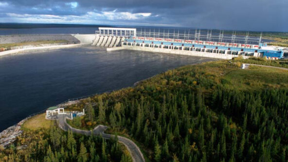
photo of La Grande-1 hydropower generating station | source HydroQuebec.com
October 10, 2023Water, Weather & Environment

Unfavorable weather reduces Quebec hydropower, revenue
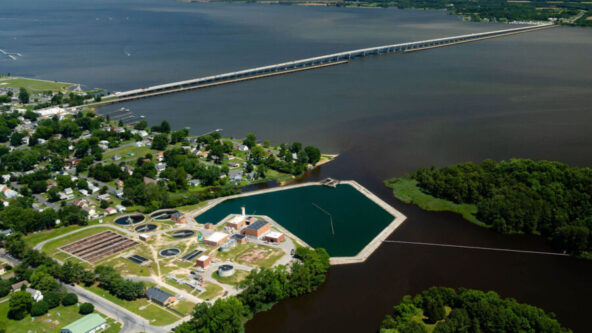
photo of Chesapeake Bay with wastewater treatment plant in teh foreground | photo credit Will Parson, Chesapeake Bay Program
September 27, 2023Water, Weather & Environment

Navigating toward a cleaner Chesapeake Bay
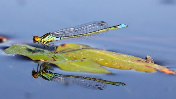
female small red-eyed damselfly (Erythromma najas) alight on a green leaf on the surface of water | photo credit Wildfowl & Wetlands Trust Ltd.
September 21, 2023Water, Weather & Environment

Early warning to freshwater ecosystem threats
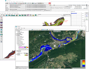
image of cascading screens from HEC RAS flood forecasting model | source the U.S. Army Corps of Engineers, Hydrologic Engineering Center (HEC)
September 12, 2023Water, Weather & Environment

Better predict post-fire flooding with HEC models
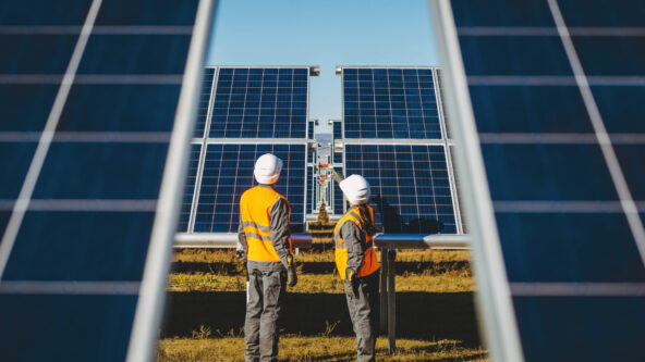
photo two operators inspect solar PV panels in a utility-scale solar farm
August 23, 2023Energy & Renewables

Record high temperatures set in Texas
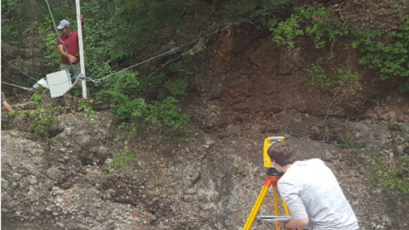
March, 2017 NOAA/National Severe Storms Laboratory research hydrologists suspend a noncontact velocity radar sensor over the Washita River or Falls Creek as a component in an early flood warning system near Davis, OK, USA | photo credit JJ Gourley, Ph.D., NOAA / NSSL
August 22, 2023Water, Weather & Environment

Water Velocity: Critical to flood warning
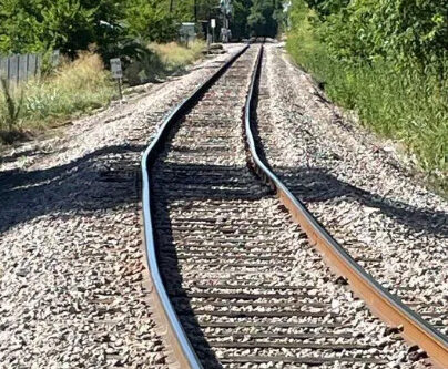
photo of a Red Line sun kink or warped train track / rail track on August 5, 2023 | photo credit Austin, Texas Capital Metro CapMetro
August 18, 2023Water, Weather & Environment

Extreme heat disrupting mass transit operations
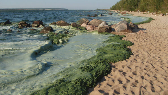
photo green algal bloom, rocks and dry beach sand at Lake Winnipeg, Canada due to phosphorus loads
August 16, 2023Water, Weather & Environment

Congeners key to water quality improvements
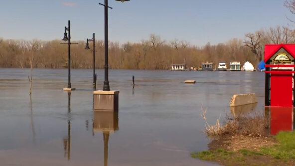
Levee Park in Red Wing, MN on 4-26-2023 flooding from swollen Mississippi River; more natural hazards to impact Central States | source WCCO news, CBS Minnesota
August 15, 2023Water, Weather & Environment

No hurricanes or rising seas, but natural hazards still impact Midwest
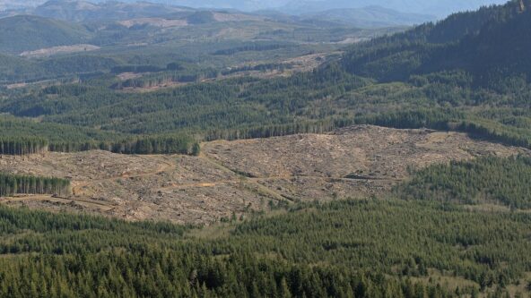
photo of clearcut land and forest near the source of the Lewis and Clark River in Clatsop County, Oregon | photo credit Walter Siegmund
August 8, 2023Water, Weather & Environment

Forests mitigate flood risk at watershed scale
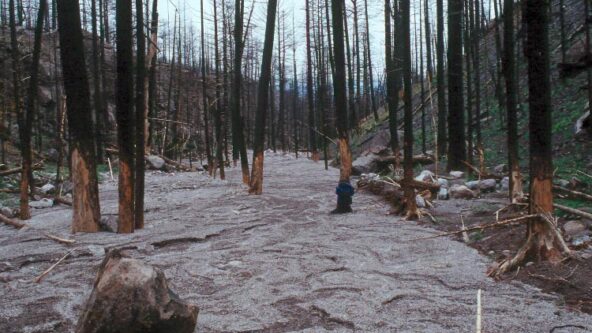
burnt watershed have zones of erosion and zones of deposition; photo taken after Cerro Grande Fire near Los Alamos, NM | photo credit John A. Moody, USGS
August 2, 2023Water, Weather & Environment

Burn scars less water-repellant than thought
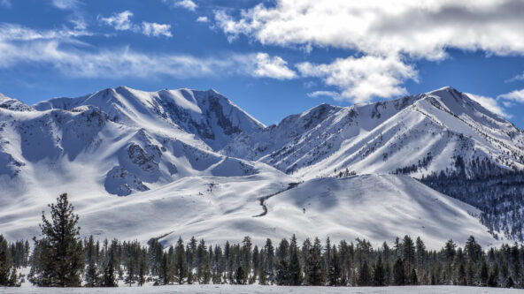
After record setting snowfall this past winter, Mammoth Mountain Ski Resort in California has extended its ski season into August. | pc Mike Sington
July 30, 2023Water, Weather & Environment

August skiing in Eastern Sierra Mountains
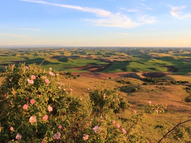
photo green and gold hills of Pullman, Washington | source: Palouse Conservation District
July 10, 2023Water, Weather & Environment

Washington Ecology issues state drought advisory
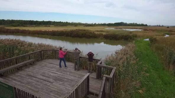
Pickerel Creek Wildlife Area on Sandusky Bay, which flows into Lake Erie; wetlands restoration will improve stormwater management and control flooding risks | source Ohio Department of Natural Resources (DNR)
July 5, 2023Water, Weather & Environment

Future climate impacts to Lake Erie win NOAA grant
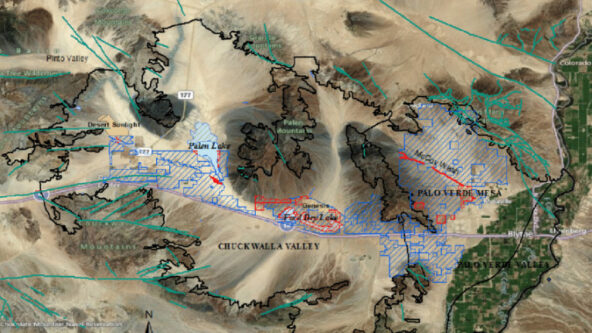
map of Riverside East SEZ solar energy zone spanning Chuckwalla Valley Groundwater Basin | source John J. Quinn, Argonne National Laboratory
July 3, 2023Water, Weather & Environment

Utility-scale solar farms bloom in California desert
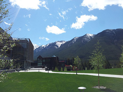
photo Canadian Water Resources Association (CWRA) North American Stream Hydrographers (NASH) workshop venue in Canadian mountains
June 29, 2023Water, Weather & Environment

Underestimated threat of flooding rains, landslides, erosion
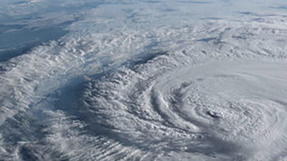
aerial photo of a hurricane | source oist.jp Okinawa Institute of Science and Technology (OIST)
June 12, 2023Water, Weather & Environment

Hurricanes reaching further inland, scientists find

KISTERS tagline logo - resized for corporate news items
June 1, 2023Water, Weather & Environment

Hydromet instrument manufacturer rebrands as KISTERS
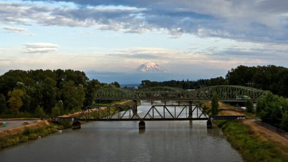
photo Pierce County, Washington with bridge in foreground and Mount Rainer in the distance
May 1, 2023Water, Weather & Environment

Warmer winters driving fluctuations in streamflow
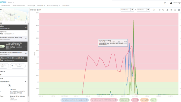
screen capture KISTERS HailSens360 hailstorm forecast, nowcast and real-time hail observations
April 19, 2023Energy & Renewables

KISTERS unveils breakthrough to forecast hailstorms
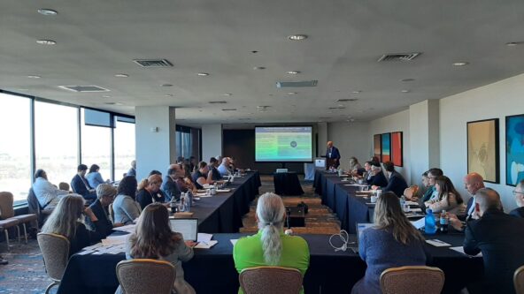
photo 2023 Washington DC Roundtable | source ICWP
April 11, 2023Water, Weather & Environment

U.S. water management entering challenging times
photo rural area with river in foreground
April 5, 2023Water, Weather & Environment

Without broadband, rural areas face more flood risk
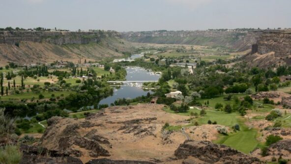
photo Snake River Canyon from the Perrine Bridge Canyon Springs Fish Farm in Twin Falls, Idaho, USA
March 28, 2023Water, Weather & Environment

Idaho DWR, USGS team to monitor groundwater levels
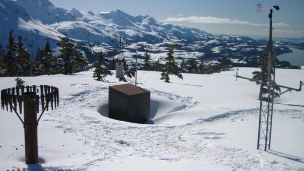
photo USDA NRCS's Mt. Eyak SNOTEL site, above Cordova, Alaska, USA. April 2012 | source climate.gov
March 17, 2023Water, Weather & Environment

Abundant snowpack not uniform across Western U.S.
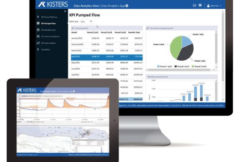
image of KISTERS dashboards to help data-driven water departments maximize limited budgets as public works and water utilities emerge from the pandemic
March 16, 2023Water, Weather & Environment

Data-driven water works maximize limited resources
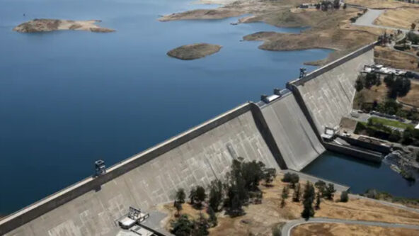
photo San Joaquin River and Friant Dam in central California, USA; source insider.com
March 13, 2023Water, Weather & Environment

Water Board oks water diversion to recharge aquifer
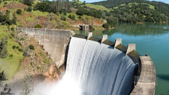
photo of Englebright Dam or hydropower generating station
March 9, 2023Water, Weather & Environment

Water agency unveils flood risk reduction plans
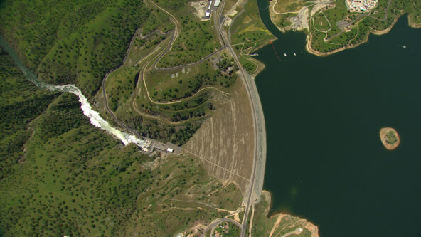
aerial photo Don Pedro Dam, owned & operated by Turlock Irrigation District of Turlock, California | source T I D
February 27, 2023Energy & Renewables

Western U.S. hydropower rebounds from record low
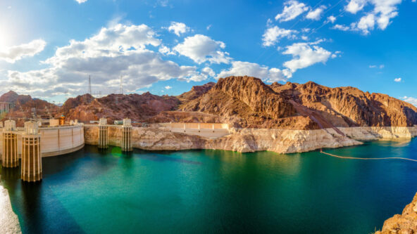
panoramic photo with landmarks from left to right: Hite Crossing Bridge, Lake Powell with notably low water level and Hoover Dam
February 21, 2023Water, Weather & Environment

Lake Powell water level sets new record low
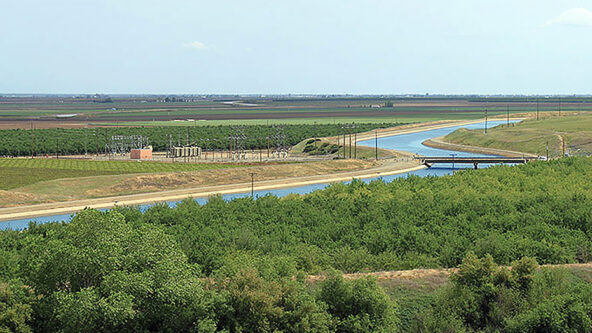
photo agriculture-rich California Central Valley | source U.S. Bureau of Reclamation
February 16, 2023Water, Weather & Environment

State awards funds for flood control, aquifer recharge
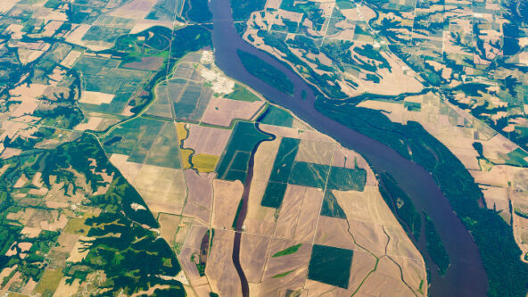
aerial photo of cropland and ag runoff in the Mississippi/Atchafalaya River Basin (MARB) | credit Economic Research Service, USDA U.S. Department of Agriculture ers.usda.gov
February 14, 2023Water, Weather & Environment

Unprecedented cooperation to avoid groundwater overdraft
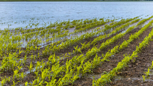
photo irrigating an agricultural field
February 14, 2023Water, Weather & Environment

Growers increase ag water efficiency with agtech

photo agriculture-rich California Central Valley | source U.S. Bureau of Reclamation
February 13, 2023Water, Weather & Environment

Sharp ag losses without sustainable water supply
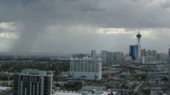
photo thunderstorm over Las Vegas, Nevada | source Las Vegas Weekly
February 8, 2023Water, Weather & Environment

Draining Las Vegas as flooding seasonality changes
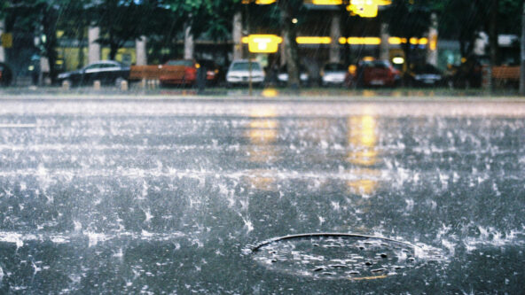
photo of rainfall on city street and manhole cover
February 6, 2023Water, Weather & Environment

Adapting Northwest stormwater designs to climate
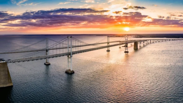
photo Chesapeake Bay Bridge | source Washingtonian.com
February 2, 2023Water, Weather & Environment

Chesapeake Bay water quality improvements hit wall

photo meeting room with people listening to presentation
January 31, 2023Water, Weather & Environment

Calif launches interagency drought planning task force

photo green algal bloom, rocks and dry beach sand at Lake Winnipeg, Canada due to phosphorus loads
January 25, 2023Water, Weather & Environment

Canada targets algal blooms in endangered lake
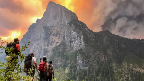
photo Merchant Peak climbers watching the Bolt Creek Fire over Baring Mountain on 9/10/2022 | credit Alison Dempsey-Hall | source Seattle Times
January 20, 2023Water, Weather & Environment

Drinking water utilities study post-fire treatment
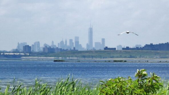
photo Jamaica Bay Wildlife Refuge, natural wetlands for natural storm water management in foreground and New York City skyline in the background | source Atlas Obscura
January 16, 2023Water, Weather & Environment

Army Corp & NYC DEP team on restoration projects
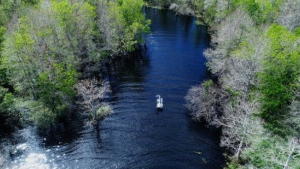
aerial photo St. Johns River in Florida, USA
January 13, 2023Water, Weather & Environment

Canal restoration project to reduce nutrient flow

photo of blue water
January 9, 2023Water, Weather & Environment

Groundwater age dating key to sustaining aquifers
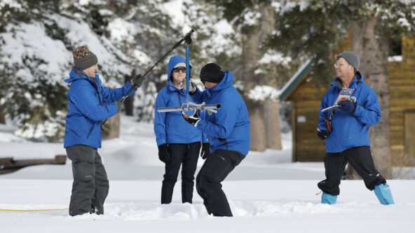
photo four California Department of Water Resources staff at Phillips Station take a manual snow survey on January 3, 2023 | source California DWR
January 3, 2023Water, Weather & Environment

Northern California Snow Survey: big snowpack

photo agriculture-rich California Central Valley | source U.S. Bureau of Reclamation
December 27, 2022Water, Weather & Environment

Groundwater depletion accelerating in Central Valley

photo blue waves open ocean
December 21, 2022Water, Weather & Environment

Water Resources Development Act (WRDA) 2022 passes
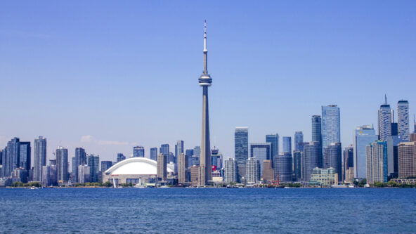
photo skyline of Toronto, Ontario, Canada in summer, 2020 | source: Aaron Davis via wikipedia
December 20, 2022Water, Weather & Environment

Heavy rainfall could strain Ontario storm water maintenance
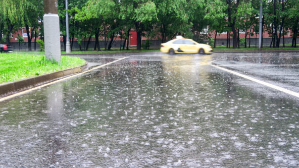
photo precipitation or rain falling on city street with park and taxi cab in the background
December 19, 2022Water, Weather & Environment

NOAA to modernize & make public precipitation data
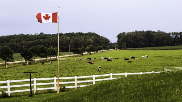
photo Canadian flag flies over cows & a dairy farm | credit Alycia Walker
December 13, 2022Water, Weather & Environment

Canada to form a sustainable agriculture strategy

aerial photo of cropland and ag runoff in the Mississippi/Atchafalaya River Basin (MARB) | credit Economic Research Service, USDA U.S. Department of Agriculture ers.usda.gov
December 7, 2022Water, Weather & Environment

EPA offers $6M to Tribes for nutrient reduction projects
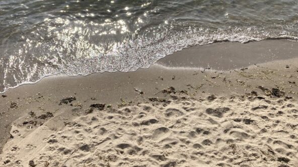
photo beach with dry and wet sand, due to ebbing wave | source Save the Sound
December 5, 2022Water, Weather & Environment

NY Long Island awarded $2.25M for water quality improvements

photo of rainfall on city street and manhole cover
December 1, 2022Water, Weather & Environment

Canadian municipalities get help to reduce flood risks
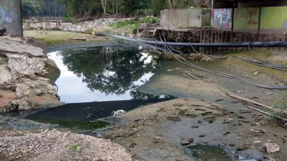
photo water and flood damage in Germany; scientists determine that seismic monitoring data can help forecast flooding
November 1, 2022Water, Weather & Environment

Earthquake sensors track devastating German flood
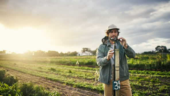
photo land surveyor measures steepness of hill slopes and landslide risk
October 31, 2022Water, Weather & Environment

Hillslopes’ steepness, seismic activity raise landslide risk
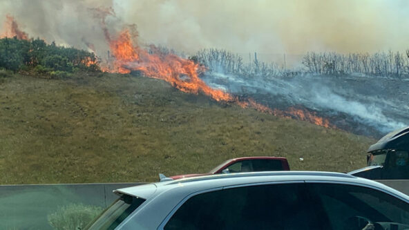
photo roadside fire from Parley's Canyon, Utah | source KUTV
October 27, 2022Water, Weather & Environment

Fires in West may intensify storms in Central U.S.

photo U.S. Department of Energy's Oak Ridge National Laboratory (ORNL) entrance sign
October 20, 2022Water, Weather & Environment

Oak Ridge updates hydrologic data to help hydro operators

panoramic photo with landmarks from left to right: Hite Crossing Bridge, Lake Powell with notably low water level and Hoover Dam
October 19, 2022Water, Weather & Environment

Fed spending to boost drought-stricken Colorado River System
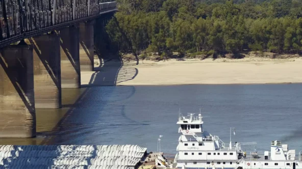
photo drought-induced Mississippi River low water level in Vicksburg, Mississippi slows U.S. midwest grain harvest distribution | credit R.V. Solis for AP
October 13, 2022Water, Weather & Environment

No rain, low water levels slow grain transportation

photo roadside fire from Parley's Canyon, Utah | source KUTV
October 11, 2022Water, Weather & Environment

Government agencies mitigate risk of wildfire in Utah
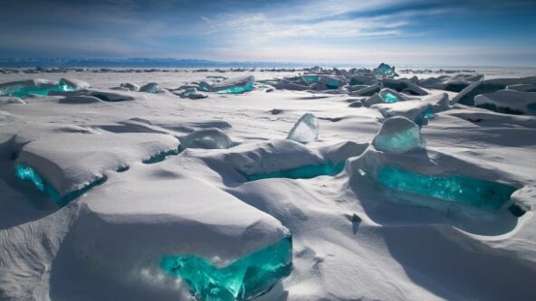
photo turquoise-colored ice under snowpack under a blue sky at Lake Baikal in Russia
October 10, 2022Water, Weather & Environment

Warmer winters, rain threaten snowpack
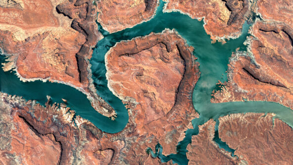
aerial photo Colorado River blue-green river against orange-colored land
October 5, 2022Water, Weather & Environment

California water agencies to lessen Colorado River withdrawal
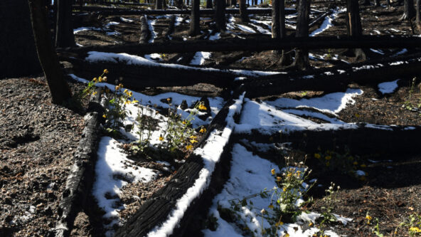
photo Cameron Peak fire burn scar in Colorado with some snowpack between felled and burnt trees; credit RJ Sangosti for Media News Group via Denver Post
September 27, 2022Water, Weather & Environment

New study: more fires quicken snowmelt, reduce water supply
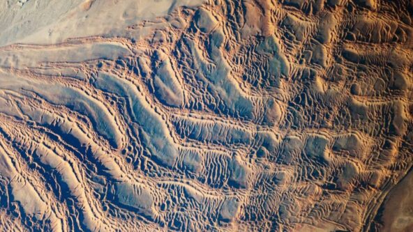
aerial photo of coastal desert and arid conditions in Namibia, Africa
September 19, 2022Water, Weather & Environment

U.S. DOE researchers identify new way to predict droughts

photo of rainfall on city street and manhole cover
September 7, 2022Water, Weather & Environment

NYC DEP acting on stormwater infrastructure initiatives
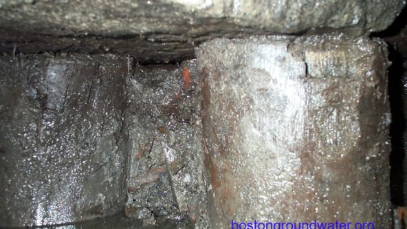
photo upclose look at old wood pilings below a historical building; low groundwater levels make pilings vulnerable to decay | credit Boston Groundwater Trust
September 6, 2022Water, Weather & Environment

Boston drought threatens building foundations
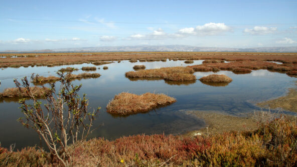
photo red tide in San Francisco Bay Area late summer, 2022 which cause a high number of fish deaths | Embarcadero Media file, credit Veronica Weber
September 4, 2022Water, Weather & Environment

Toxic red tide algae bloom cited for fish die-off

photo USDA NRCS's Mt. Eyak SNOTEL site, above Cordova, Alaska, USA. April 2012 | source climate.gov
September 1, 2022Water, Weather & Environment

American River Basin: declining snowpack through century-end
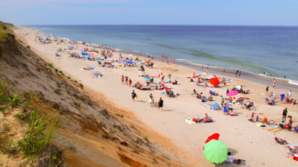
photo of Cape Cod, Massachusetts Marconi Beach via vv at ldzen via flickr
September 1, 2022Water, Weather & Environment

New England beach water quality monitoring funding

panoramic photo with landmarks from left to right: Hite Crossing Bridge, Lake Powell with notably low water level and Hoover Dam
August 17, 2022Water, Weather & Environment

Interior austerity measures to protect Colorado River System

August 16, 2022Water, Weather & Environment

Natural wetlands optimal for stormwater management
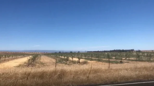
photo dry land and green orchards in Glenn County, California as drought worsens in June, 2021 | credit KRCR via KRCRTV.com
August 11, 2022Water, Weather & Environment

California groundwater authority promotes water conservation
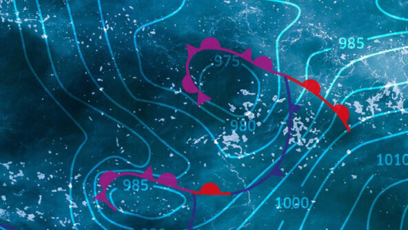
Arial photography of an ocean
August 10, 2022Water, Weather & Environment

Online map shows groundwater sustainability projects
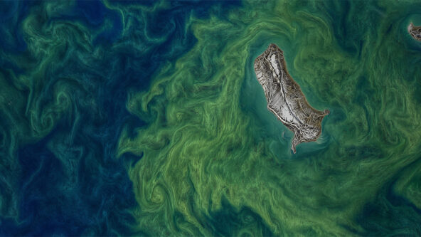
aerial photo of ocean salinity | source NASA salinity.oceansciences.org
July 11, 2022Water, Weather & Environment

Ocean salinity intensifies rainfall over Midwest

photo Museum Fire burn scar in Flagstaff, Arizona | source HECHOonline.org
July 7, 2022Water, Weather & Environment

After fires, flood risk elevated as alluvial fan unravels
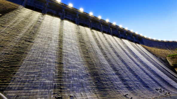
photo hydropower generation station at dusk | camera angle looks up a dam and a line of lights along the top of the dam
June 28, 2022Water, Weather & Environment

Corps earthquake response exercise assesses dam safety in NW
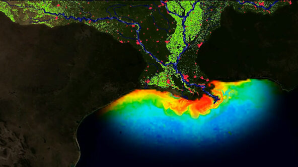
image: Nutrient runoff map shows impact of human activities on water quality and the annual summer dead zone in the Gulf of Mexico | image source: NOAA
June 7, 2022Water, Weather & Environment

NOAA forecasts average ‘dead zone’ in Gulf this summer
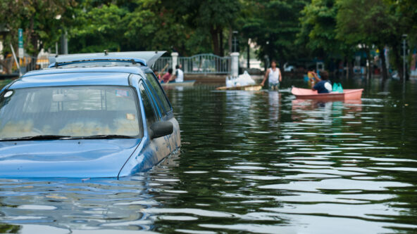
photo flood water submerges hood of a parked car
June 1, 2022Water, Weather & Environment

Nationwide ATLAS 14 update by NOAA gets temporary funding
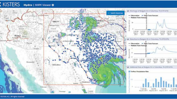
screen capture KISTERS National Water Model demo project data viewer features map, radar rainfall data, flood forecast hydrographs and rain forecast bar graph / histogram
May 30, 2022Water, Weather & Environment

High-tech tools have improved predictions of hurricane paths
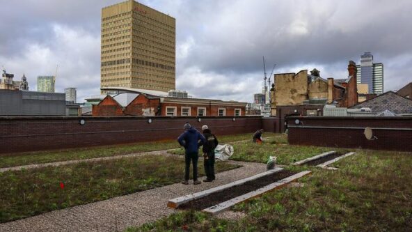
photo of the blue-green roof atop Bruntwood Works in Manchester, UK. KISTERS, Polypipe and STRI Group collaborated to store rain water, to prevent excess stormwater runoff and combined sewer overflows, and reuse the gray water to irrigate a rooftop garden | photo credit STRI Group
May 24, 2022Water, Weather & Environment

City dwellers warming to green roofs’ costs & benefits

photo Snake River Canyon from the Perrine Bridge Canyon Springs Fish Farm in Twin Falls, Idaho, USA
May 11, 2022Water, Weather & Environment

Widespread drought, water shortages in southern Idaho

photo green algal bloom, rocks and dry beach sand at Lake Winnipeg, Canada due to phosphorus loads
March 23, 2022Water, Weather & Environment

Great Lakes water quality focus of federal research

photo of Metalmorphosis Fountain by artist David Černý. The Charlotte, North Carolina fountain embodies the significant impact of data integration and collaboration we are seeing among water management agencies for water efficiency. | photo credit DeMilked.com
March 22, 2022Water, Weather & Environment

World Water Day 2022
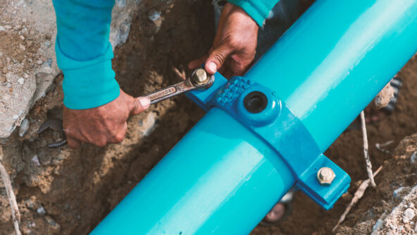
photo of man's hands as worker uses a wrench to secure a bolt on a ground water pipe
March 10, 2022Water, Weather & Environment

Michigan’s water shortages despite surrounding surface water
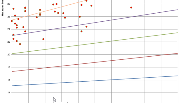
screen capture of KiECO ecological data graph of fish counts and stream thermal classifications
March 7, 2022Water, Weather & Environment

KiECO now automates thermal regime classifications

March 3, 2022Water, Weather & Environment

New Head of Business Development for water business unit
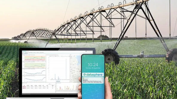
screen capture of datasphere agricultural irrigation monitoring software / application on a laptop and a smart phone with photo of a farm field irrigation system in the background
March 3, 2022Water, Weather & Environment

Extreme weather urges growers to lessen crop yield uncertainty
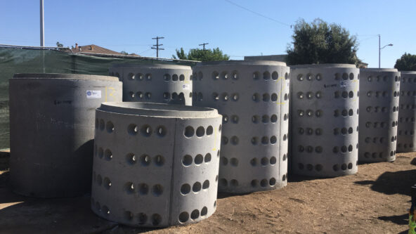
photo of drywell pipe sections waiting to be installed below ground; drilled holes allow water to soak into the soil and recharge groundwater supplies | credit Los Angeles County Department of Public Works | Los Angeles, CA
March 1, 2022Water, Weather & Environment

More water storage to capture stormwater as drought persists

photo irrigating an agricultural field
February 28, 2022Water, Weather & Environment

Webinar: Agrimeteorology & irrigation monitoring
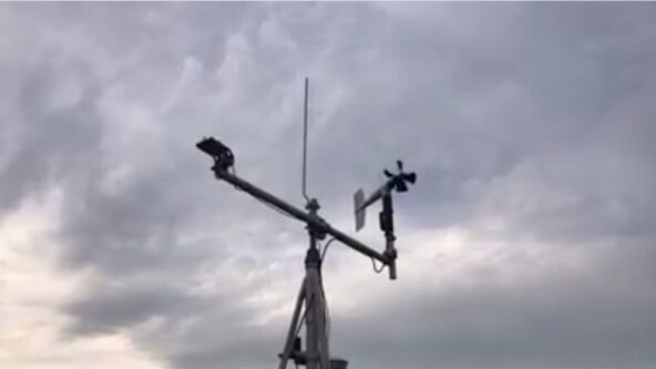
meteorological mesonet station measuring wind and other weather parameters | source Delaware DEOS via WBOC TV 16
February 27, 2022Water, Weather & Environment

Severe weather exposes inequalities in weather monitoring
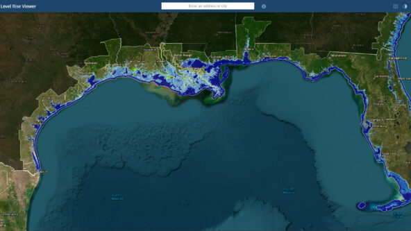
screen capture of the Gulf Coast and projected sea level rise up to 12 inches | source NOAA Sea Level Rise Viewer
February 24, 2022Water, Weather & Environment

US coasts to see up to 12″ of sea level rise by 2050
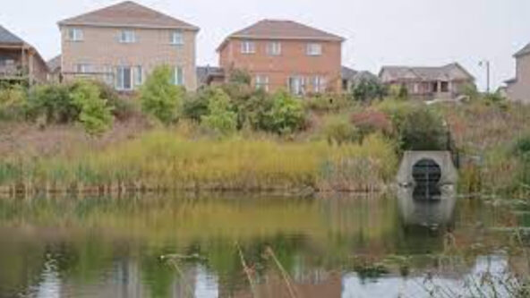
photo of two houses, and a stormwater outfall draining into Lake Simcoe in Ontario, Canada | credit Lake Simcoe Region Conservation Authority (LSRCA)
February 3, 2022Water, Weather & Environment

Watershed-scale stormwater management yields better results

photo of Gulfstream IV-SP jet and WP-3D Orion aircraft in the sky | credit U.S. National Weather Service, Weather Ready Nation
January 19, 2022Water, Weather & Environment

Atmospheric river storm monitoring to improve forecasts
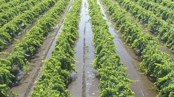
photo of irrigated grape vines | credit McMullin Area Groundwater Sustainability Agency (MAGSA)
November 2, 2021Water, Weather & Environment

Drought effects and critical groundwater recharge
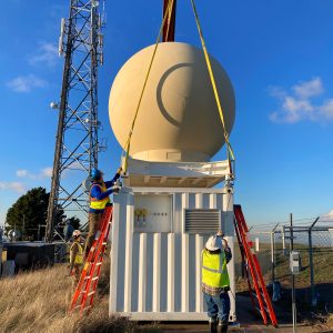
photo of a new weather radar on Rocky Ridge on East Bay Municipal Utility District (EBMUD) property to vastly improve emergency response and public safety measures for the entire San Francisco Bay Area, California during atmospheric river events. | credit Marin County Public Works
October 21, 2021Water, Weather & Environment

New weather radar system hoped to fill gaps, improve forecasts
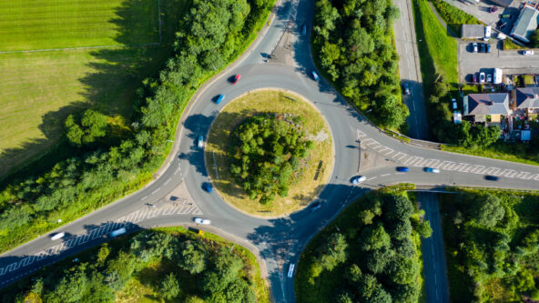
aerial photo of a traffic circle and green infrastructure for stormwater capture and less impervious cover
October 5, 2021Water, Weather & Environment

Stormwater best management practices ineffective?

photo hydropower generation station at dusk | camera angle looks up a dam and a line of lights along the top of the dam
October 4, 2021Water, Weather & Environment

New BC electrification plan focuses on hydro
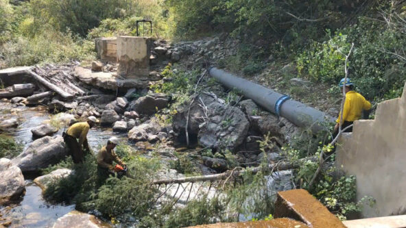
photo firefighters clear debris near water diversion structure in the White River National Forest in effort to protect water quality from contamination by the Grizzly Creek Fire in 2020 | source City of Glenwood Springs, Colorado via Water Education Colorado
September 30, 2021Water, Weather & Environment

EPA: Post-fire contaminated drinking water system guidance
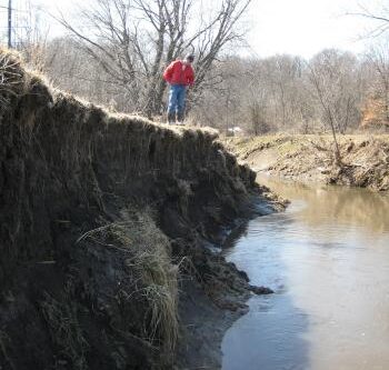
photo of State Geologist of Iowa and Director of the Iowa Geological Survey, Keith Schilling surveys severe erosion on Walnut Creek | photo credit Iowa Geological Survey
September 2, 2021Water, Weather & Environment

Iowa’s eroding streams source one-third of phosphorus

aerial view of white ocean waves against a blue water background
August 19, 2021Water, Weather & Environment

NASA Earth Observing missions focus on water & soil moisture

photo hydropower generation station at dusk | camera angle looks up a dam and a line of lights along the top of the dam
August 6, 2021Water, Weather & Environment

Drought causes historic disruption at hydropower plant

aerial photo of ocean salinity | source NASA salinity.oceansciences.org
July 21, 2021Water, Weather & Environment

EPA app serves as image-based HAB warning system

KISTERS tagline logo - resized for corporate news items
June 7, 2021Water, Weather & Environment

How sustainable are your vendors and solutions providers?
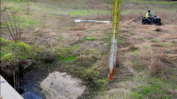
photo staff gauge measures water level | photo credit Santa Cruz Sentinel
June 4, 2021Water, Weather & Environment

Calif. DWR approves first groundwater sustainability plans

aerial photo of coastal desert and arid conditions in Namibia, Africa
April 23, 2021Water, Weather & Environment

White House launches Drought Relief Working Group
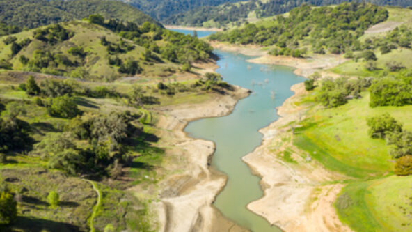
photo of Russian River during drought emergency | credit Sonoma Water Agency
April 22, 2021Water, Weather & Environment

Drought in Russian River Watershed declared state of emergency
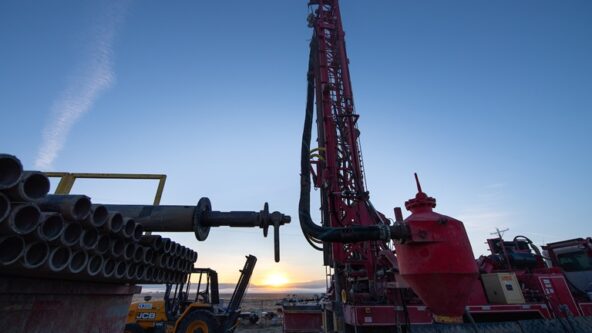
photo of a drilling rig to drill a groundwater monitoring well | credit California Department of Water Resources (DWR)
March 4, 2021Water, Weather & Environment

New monitoring wells needed after severe droughts, water losses

photo of irrigated grape vines | credit McMullin Area Groundwater Sustainability Agency (MAGSA)
March 1, 2021Water, Weather & Environment

Central Valley Groundwater Sustainability Agency expands aquifer recharge

Silhouette of business people in meeting, focusing on data and reports to inform decision-making and policy
January 22, 2021Water, Weather & Environment

Evidence-based governments make most of programs and budgets
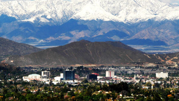
photo city of Riverside, seat of the County of Riverside, California with multiple mountain ranges in the background
October 2, 2020Water, Weather & Environment

More variable weather exposed in California Water Year 2020
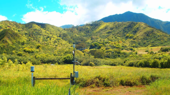
photo of TB4 tipping bucket rain gauge in-situ; rain sensor accurately measured the greatest 24-hour rainfall on record in the United States (April 14-15, 2018) | credit Waipa Garden Kauai, Hawaii
August 14, 2020Water, Weather & Environment

TB4 measures highest daily rainfall record in the U.S.

KISTERS tagline logo - resized for corporate news items
August 6, 2020Water, Weather & Environment

Hydrological Services America (HSA) joins the KISTERS Group
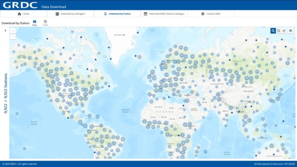
screen capture Global Data Runoff Center (GRDC) Data Download web portal makes publicly available in-situ river discharge data since 1988 | credit Global Climate Observing System (GCOS) of the World Meteorological Organization (WMO)
July 29, 2020Water, Weather & Environment

Global in-situ river discharge, runoff data now publicly available
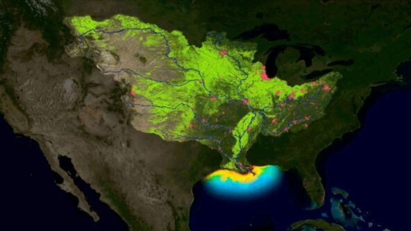
image nutrient runoff heat map of the Mississippi/Atchafalaya River Basin (MARB) where U.S. federal agencies are working together through the hypoxia task force (HTF) to achieve water quality improvements.
June 25, 2020Water, Weather & Environment

EPA funds more nutrient reduction; larger than average “dead zone” forecast

conceptual illustration of computing; mathematical symbols, algorithms and light waves against a cube-shaped black background
January 18, 2020Water, Weather & Environment

Machine learning + non-contact radar change hydrography
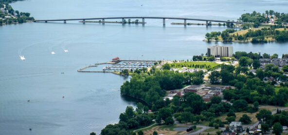
photo Bay of Quinte and Skyway Bridge in Ontario, Canada
December 2, 2019Water, Weather & Environment

Collaborative, Risk-based Approach to Flood Management of Critical Value

photo female engineer wears a white hard hat and reflective orange safety vest, holds a tablet while working in a water facility, a water operator works in the background
November 19, 2019Water, Weather & Environment

Public safety power shutoffs impacts on water operations
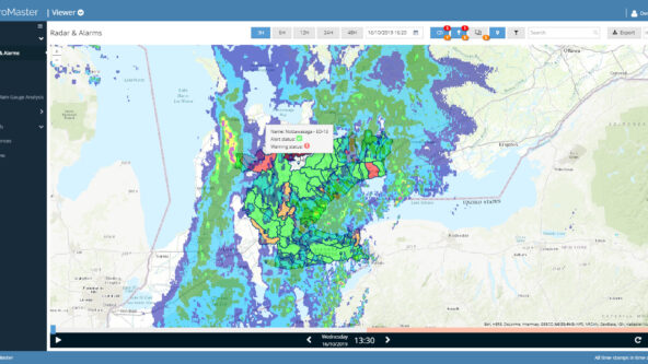
screen capture of HydroMaster software as a service (SaaS) web browser interface | Canadian radar rainfall observations and rain forecasts are animated and extracted into graphs and tables
November 5, 2019Water, Weather & Environment

Minimizing storm-related impacts on infrastructure and assets
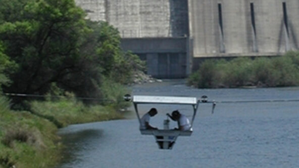
photo of two hydrographers in a gondola taking discharge measurements with a hydropower dam in the background | source Sierra Hydrographics
May 14, 2019Water, Weather & Environment

Army Corps contractor enhances hydrographic services with KISTERS
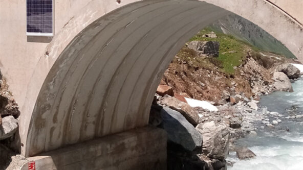
photo RQ-30 mounted on a bridge over a river; non-contact radar sensor takes discharge measurements and keeps public works workers safe. bottom of photo shows a red staff gauge to measure water level
April 29, 2019Water, Weather & Environment

ADMS streamlines flow measurements

photo U.S. Congress building | credit U.S. Library of Congress
March 29, 2019Water, Weather & Environment

State and local agencies demand more analytic capacity

image photo of earth taken from space; urban areas represented by clusters of light against a dark sky
March 22, 2019Water, Weather & Environment

World Water Day 2019
photo of a mountain lake or surface water resources | credit Johannes Ludwig for unsplash
December 5, 2018Water, Weather & Environment

Climate change climbs as water management priority
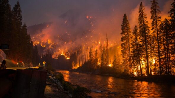
photo take during a wildfire, from left to right, unburnt sentinel trees, an emergency vehicle on a road along a river, and burning forest | source: GEIWorks.com
November 20, 2018Water, Weather & Environment

Wildfires call for long-term water quality vigilance
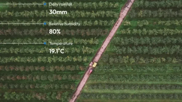
aerial photo of a farm with a diagonal path cuts through rows of trees: data callouts for
August 15, 2018Water, Weather & Environment

Irrigation conference stresses need for ag innovation & partners

photo skyline of the city of Philadelphia, Pennsylvania
July 16, 2018Water, Weather & Environment

Water utilities adapt to climate change
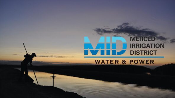
photo ditch rider silhouette at an irrigation channel at sunset | source Merced Irrigation District
June 5, 2018Water, Weather & Environment

Merced Irrigation District optimizes operations during California’s “whiplash” of wet and dry years
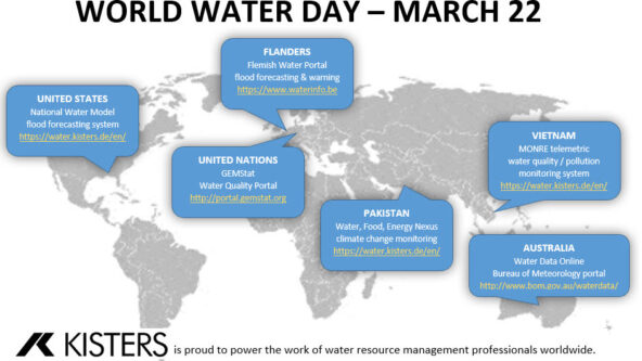
world map highlights KISTERS partnerships innovating the monitoring & management of flooding risks, water quality, the water-energy-food nexus, and open data.
March 22, 2018Water, Weather & Environment

KISTERS celebrates World Water Day

photo meeting room with people listening to presentation
February 24, 2018Water, Weather & Environment

Canadian WISKI users convene workshop
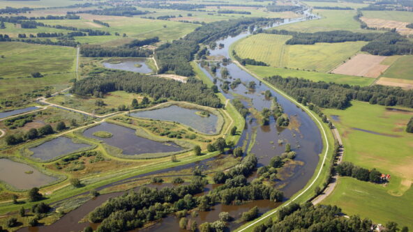
photo serpentine river flows through multiple water management jurisdictions
January 10, 2018Water, Weather & Environment

EPA establishes Internet of Watersheds with KISTERS Web Services
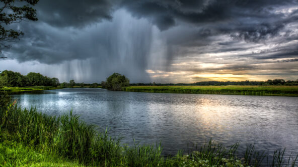
photo dark clouds and intense rainstorm in the distance; relatively calm river and vibrant green grasses in the foreground
November 15, 2017Water, Weather & Environment

Tipping bucket rain gauge quietly gains favor worldwide
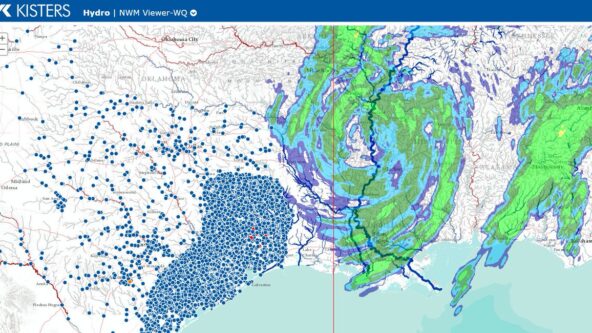
screen capture of KISTERS water data viewer; the web portal shows raster rainfall data and hydrological monitoring stations during Hurricane Harvey in 2017
August 28, 2017Water, Weather & Environment

Live report from Hurricane Emergency Operations Center
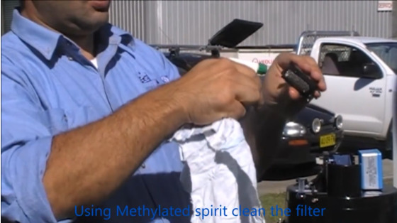
photo from video on tipping bucket rain gauge maintenance; hydrology technician sprays the siphon with isopropyl alcohol or methylated spirit to clean the filter
August 3, 2017Water, Weather & Environment

How to maintain optimal use of tipping bucket rain gauges
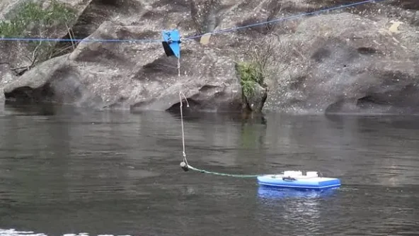
photo Flying Fox towing system for safer ADCP and discharge measurements; KISTERS doesn't provide acoustic Doppler current profiler (ADCP)
August 3, 2017Water, Weather & Environment

7 reasons ADCP towing systems transform stream gauging

logo 1.0 Smart Water Networks Alliance (SWAN)
September 16, 2016Water, Weather & Environment

KISTERS onboard launch of smart water alliance

photo of the Kisters Group exhibit at Meteorological Technology Expo; nextgen water and weather sensors include a real-time hail sensor, a bubbler to measure water level and a web-based data analytics platform | photo credit KISTERS AG
September 15, 2016Water, Weather & Environment

KISTERS launches 3 products at Meteorological Technology Expo

photo The White House, 1600 Pennsylvania Avenue, Washington, DC
March 16, 2016Water, Weather & Environment

White House receives joint commitment from Esri, KISTERS